pH (0-14)
What's this?
8.28
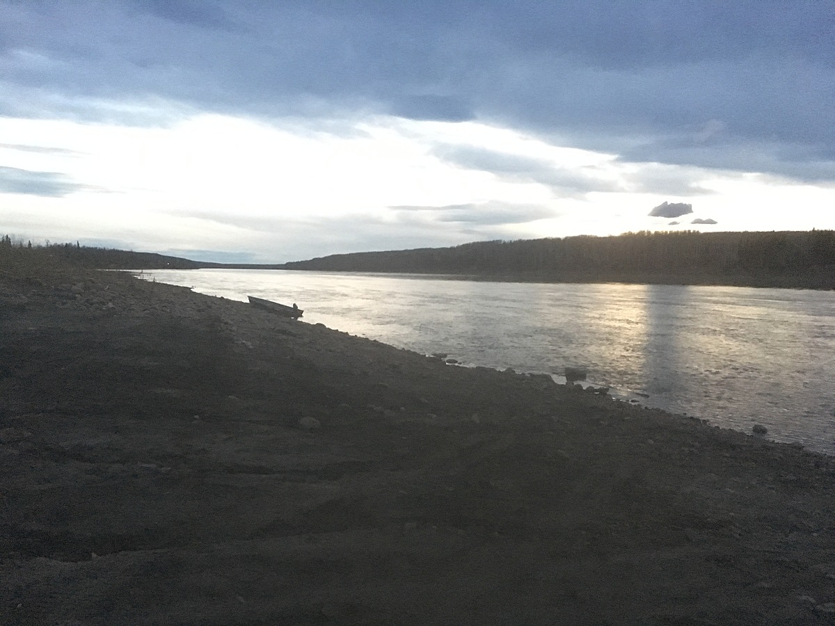
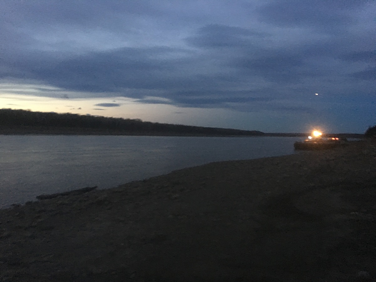
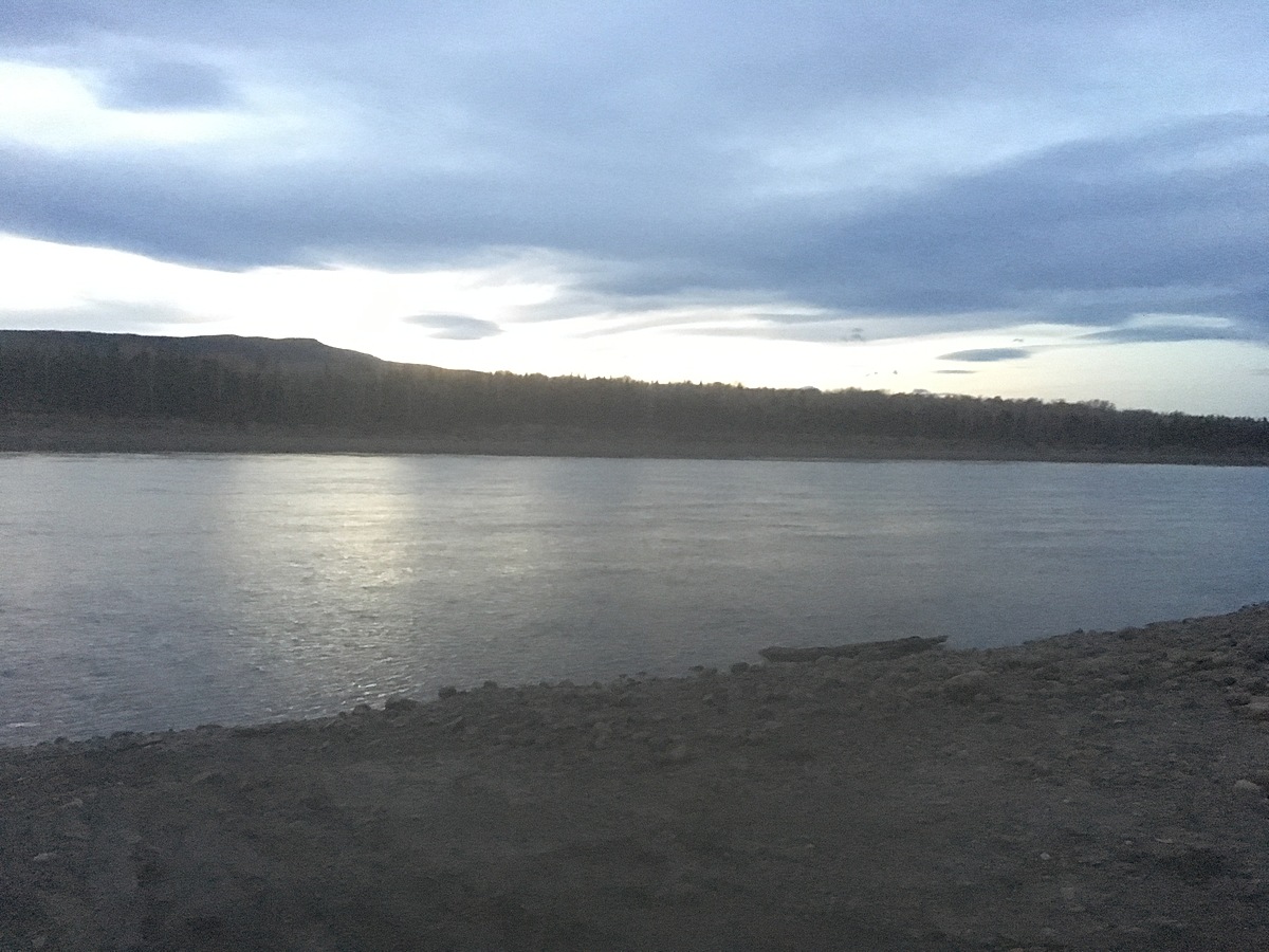
Fort Liard barge landing : Liard River
Northwest Territories, Canada
Observed by
Cale Jackson
- Observed on: Thu, 05 Oct 2017 07:49:00 -0600
-
Associated with:
Protect Our Waters - Lat: 60.2525792
- Lng: -123.4495068
Observation report
See trends at this locationWater quality tests
Pending Quality Check from Water Rangers What's this?
Secchi depth m
What's this?
bottom visible
Hardness mg/L
What's this?
200.0
Alkalinity mg/L
What's this?
100.0
Water depth m
What's this?
0.7
Conductivity μS/cm
What's this?
321.0
Air temperature °C
What's this?
10.0
Water temperature °C
What's this?
8.1
Latest photos
Notes
Large volume river. Strong current. Fairly broad and deep. Many gravel and sand bars. Barge landing was sample spot. Mostly silt and fine gravel at sample location. Boat launch and barge landing are both areas which flush sediment in the river during rain and run off events. Heavily eroded.