French River
Ontario, Canada
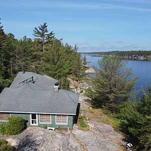
Point of an island where the main channel meets a large Two Mile Bay. Depth in middle of channel 60 feet.
Slight eddy like current.
Rock shoreline.
Observations taken from floating dock 20 ft out in the current @ 2ft beneath surface

Location created by
Jane Burgess
- Group: Water Rangers : 2020 OTF Test Strip Reading Study
- Lat: 46.0291802
- Lng: -80.3579091
- Waterbody Type: River
- Timezone: America/Toronto
Latest photos
View all photosFrench River : Shields Island
Observed on
2020-06-29
Large Blanding and snapping turtle. mayfly scum on surface
French River : Shields Island
Observed on
2020-06-07


