Bowker Creek
Victoria, British Columbia, Canada

Location created by
Eldan Goldenberg
- Group: Friends of Bowker Creek : Salmon Recovery
- Lat: 48.4298612
- Lng: -123.3088624
- Waterbody Type: Creek
- Timezone: America/Vancouver
Latest photos
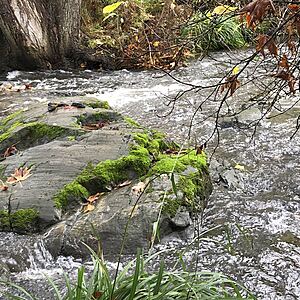
View all photosBowker Creek : Bowker Creek: end of the riffle at Monteith
Observed on
2024-10-17
Water not completely clear but can see bottom everywhere Air temp 11⁰C
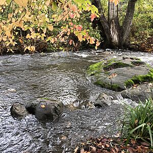
Bowker Creek : Bowker Creek: end of the riffle at Monteith
Observed on
2024-10-17
Bottom visible as more spread out than at riffle Water clear Flowing fast but not surging
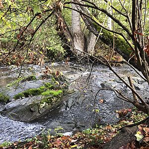
Bowker Creek : Bowker Creek: end of the riffle at Monteith
Observed on
2024-10-15
Nothing to report. Not sure if what I'm calling "algae" isn't just a coating of mud on the str...


